Interstate Contracting and Restoration Request a Free Quote

Construction
Documentation

Watch Our Services in Action
Aerial construction documentation of active building restoration

Smarter Insights. Safer Access.

Accurate Project Documentation from Start to Finish

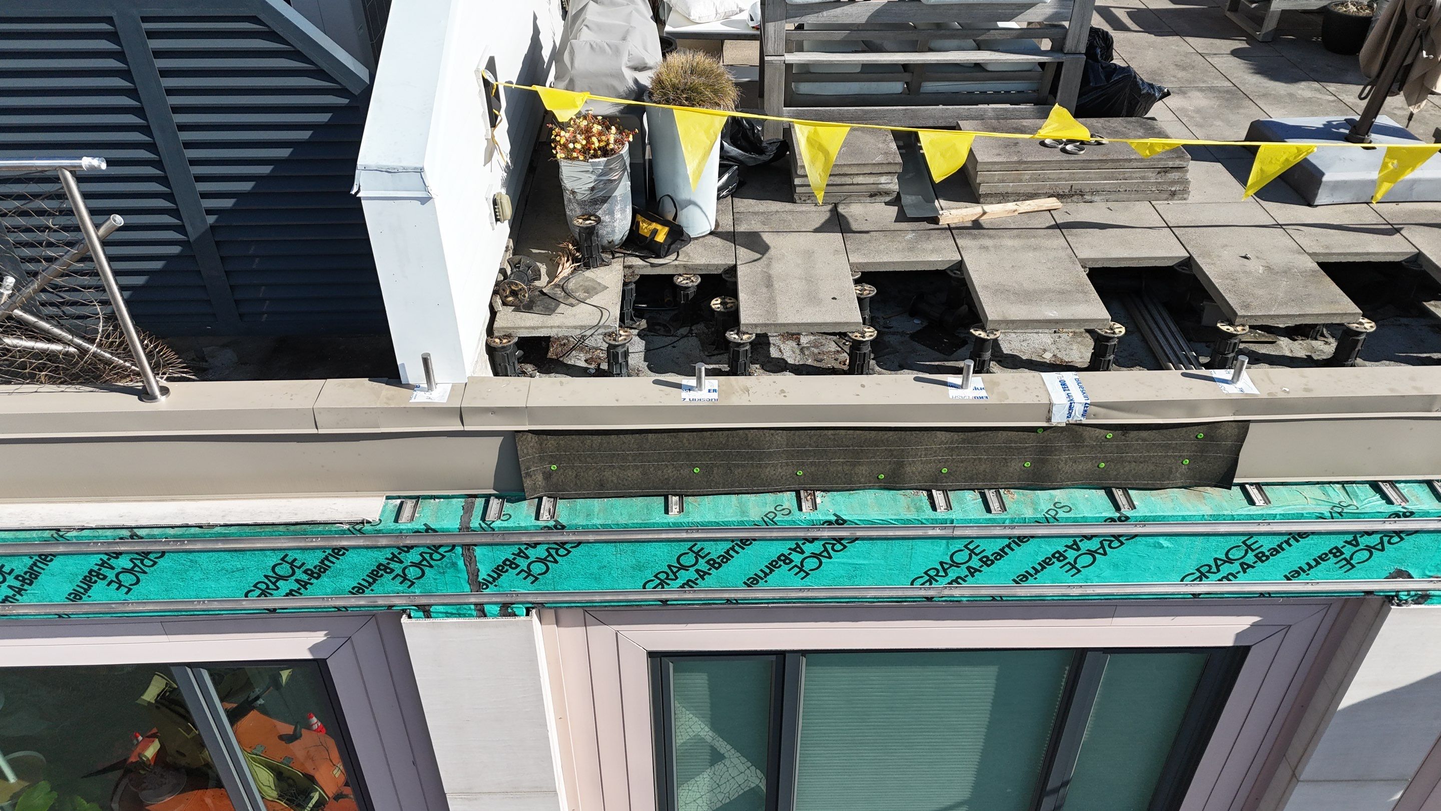
Interstate Drone Services provides comprehensive construction documentation solutions designed to give owners, project managers, and construction teams a clear and consistent view of project progress at every stage.

Using advanced drone technology, we capture high-resolution aerial imagery and video that documents site conditions, tracks progress, and highlights key milestones throughout the lifecycle of a project.

This allows stakeholders to monitor activity, verify completed work, and maintain alignment across all parties involved.

Reliable Documentation for Better Project Oversight

Our documentation services are especially valuable for:

Our documentation services help teams:

  • Track project progress and milestones
  • Provide owner and investor updates
  • Improve coordination between contractors, engineers, and consultants
  • Identify potential issues before they impact schedule or cost

By utilizing repeatable flight paths and consistent capture methods, we create a reliable visual record that can be referenced throughout the entire project lifecycle.

Backed by real-world construction experience, our team understands what matters on a jobsite. We don't just collect images - we deliver meaningful documentation that supports better decision-making and more efficient project execution.

A Structured Approach to Reliable Project Documentation

How It Works

01

Project Setup & Planning

We coordinate with your team to understand the project scope & schedule. Flight plans are developed based on site layout and reporting requirements.

02

Scheduled Data Capture

Drone flights are conducted on a consistent schedule weekly, bi-weekly, or milestone-based to ensure accurate progress tracking.

03

High-Resolution Imaging & Video

We capture detailed aerial imagery and video from multiple angles and elevations, providing both full-site visibility and close-up views of critical work areas.

04

Organized Delivery & Reporting

All captured data is delivered in a clear and organized format for easy review, reporting, and stakeholder updates.

05

Ongoing Project Tracking

As the project progresses, documented data creates a timeline of completed work, helping teams verify milestones, monitor changes, and maintain alignment across all stakeholders.

Built for Professionals Responsible for Project Performance

Who This Is For

Property Owners & Developers

Maintain visibility into project progress, verify completed work, and keep stakeholders informed with clear visual updates.

Construction Managers & General Contractors

Track jobsite activity, improve coordination between trades, and maintain accurate records of site conditions and project progress.

Engineers & Consultants

Access reliable visual data to support reporting, site evaluations, and coordination with project teams.

Asset Managers & Investors

Receive consistent, high-quality documentation to monitor timelines, budgets, and overall project performance.

Get in Touch

Ready to Get Started?

Our team responds quickly. Request your free quote and we'll assess your structure and recommend the right solution.
Request a Free Quote 908-756-8200